Monitoring the snow cornices for avalanche risks
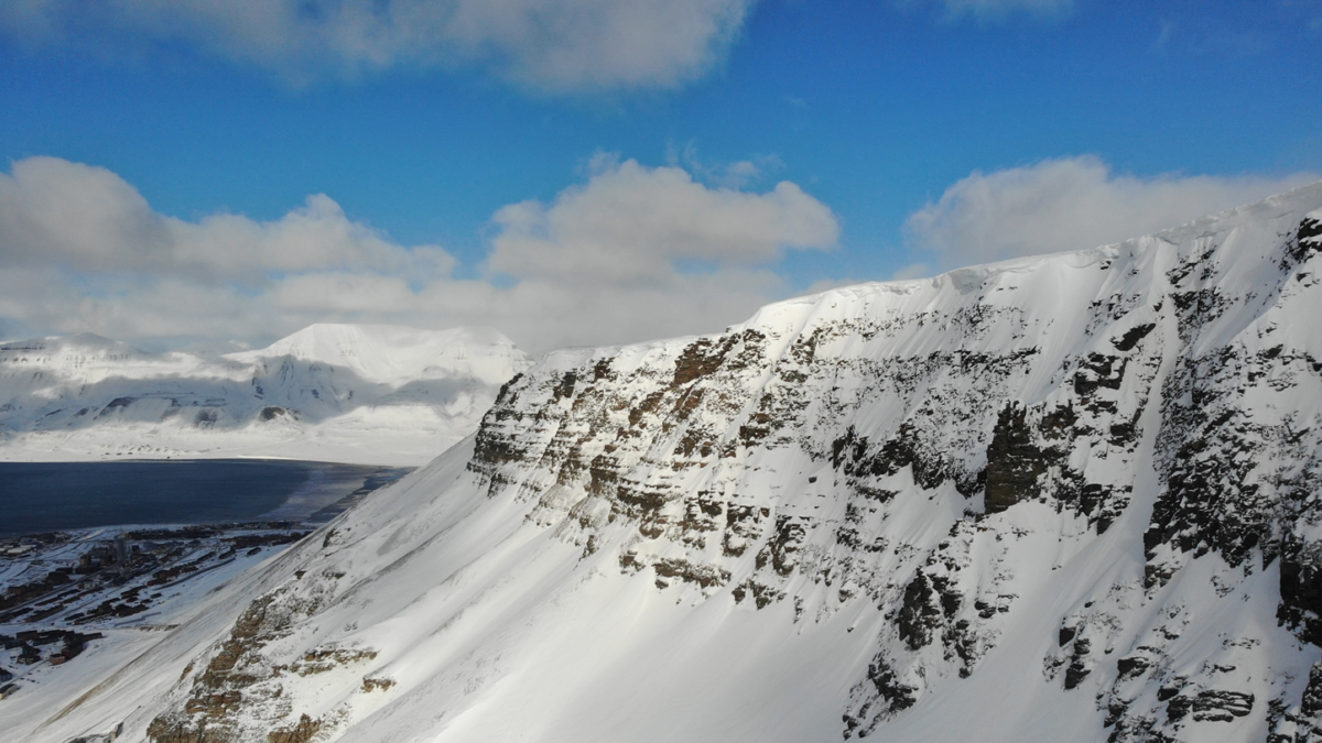
Recently, I joined a team of researchers to fly drones to inspect the snow cornices on Gruvefjellet – a mountainside in Longyearbyen, Svalbard. Their work helps to understand and assess the risks of cornice-triggered avalanches in Longyearbyen.
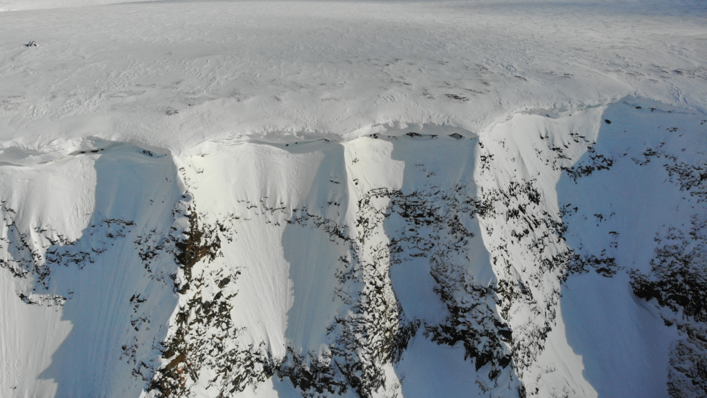
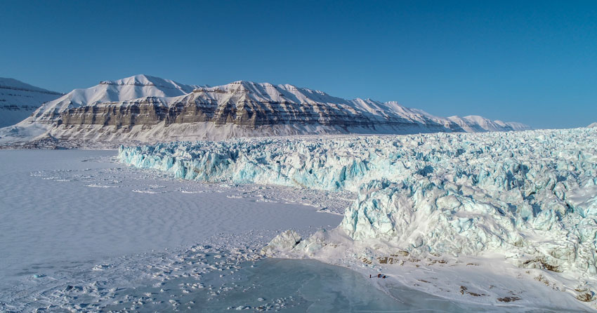
Snow cornices are overhanging snow structures that form on mountain ridges. When the wind blows over the mountain ridge, it deposits snow on the lee-ward side, which can accumulate significant amounts of snow. When such snow cornices collapse, they can cause avalanches. Every spring, such cornice-triggered avalanches occur on Gruvefjellet and have led to the evacuation of Nybyen multiple times. In order to better understand and assess the risks for the inhabitants of Longyearbyen, researchers are studying these cornices.
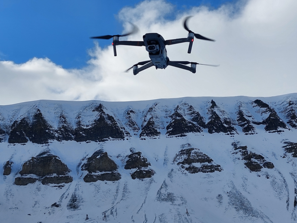
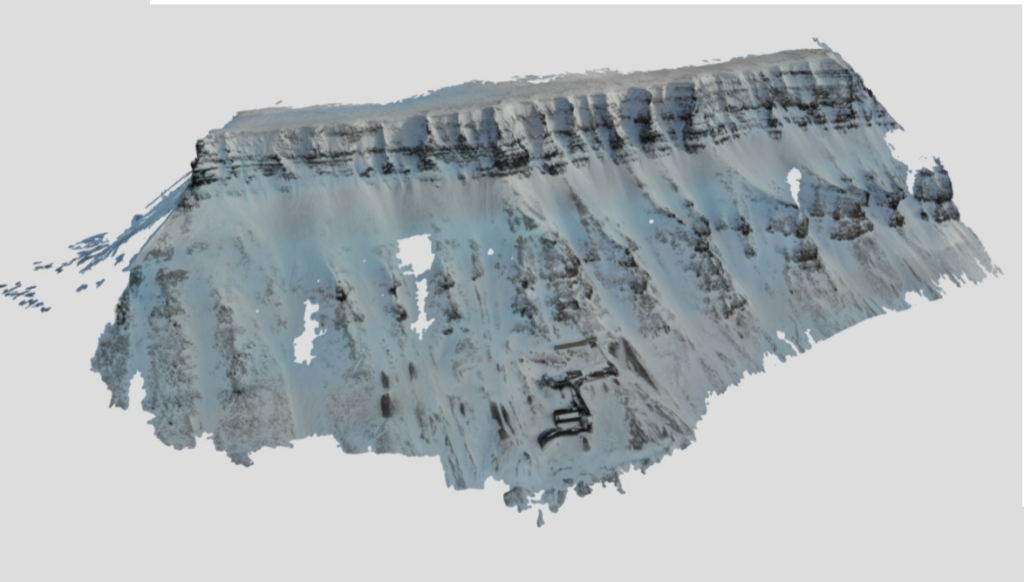
An international collaboration of researchers from the Arctic Safety Centre at the University of Svalbard (UNIS), the Austrian Research Centre for Forests (BFW), the University of Innsbruck (UIBK), and the Norwegian University of Science and Technology (NTNU), set out to investigate the current size of the cornices. Using a drone, they mapped the mountainside of Gruvefjellet. The result is a high-resolution 3D model of the mountainside. This 3D model shows the size and where the largest cornices occur. This helps to assess where the hazards and associated risks for cornice fall avalanches are the highest.
In addition to drone flights, researchers Holt Hancock (UNIS), Marc Adams (BFW), and Annelies Voordendag (UIBK) are also using a terrestrial laser scanner (TLS). This device can measure the height of snow surfaces from several kilometers of distance at high accuracy. A possible permanent cornice monitoring solution could include the installation of a TLS on the opposite side of the valley to quantify the growth and size of the Gruvefjellet cornices. Such a monitoring solution can play a role in addressing avalanche risks through real-time hazard monitoring in Longyeardalen. The results from the drone flights by Richard Hann (NTNU) will be used for comparison to the TLS method. This work provides valuable input to the ARCT-RISK research project, where data from sensors and sensing systems (such as drones and TLS technology) helps form the basis for improved management of climate-related risks.
Cornices are a significant safety concern to the Longyearbyen community and this research helps to evaluate the risk better. New technologies, such as drones and terrestrial laser scanning are key elements that will help to build a safer future in times of changing environment in the Arctic.
Link to the simplified 3D model on Sketchfab.