


 15 / 80

15
Annual Report 2016
SAMCoT
DATA COLLECTION AND PROCESS MODELLING
More than 20 years of extensive experimental investigations on Svalbard, the Barents and
Kara Seas regions back up the work done by this Work Package. Numerous researchers,
MSc and PhD students have worked together with the aim of providing the experimental
basis for PhD students over the years. Field studies in the regions of the Russian Arctic
are also carried out with the cooperation of Moscow State University (MSU) and Krylov
State Research Centre.
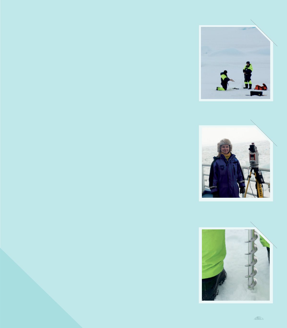
The researchers’ main goal is to collect and analyze field data on sea ice, icebergs, and
coastal permafrost working with these data on the necessary models for further research.
COMPARISON OF SEA ICE PRODUCTS AND DATA OF DRIFTING
BUOYS IN THE BARENTS SEA
Several institutions and agencies around the world
provide “Sea Ice Products”, in other words data that
contain valuable information on, for example, mean ice
motion vectors derived from passive microwave sensors,
visible and infrared sensors and other sources.
Researcher Nataly Marchenko compared Sea Ice Produ-
cts data from the Barents Sea. The Barents Sea is a very
interesting region for SAMCoT’s research due to its loca-
tion and to the presence of sea ice that is representative
of sea ice trends observed widely. Sea ice is a key factor
in marine operations and navigation in the Arctic. An
evident decrease in the ice cover in relation to both area
and thickness has been determined. The thinning of the
ice cover leads to more broken ice. This broken ice is
an important factor to take into account during offshore
activities in these waters. How this broken ice affects
these activities is not yet well-known. Furthermore, the
amount of multi-year ice has reduced significantly.
The ice conditions in the Barents Sea are representative
of the new trends we see in the Arctic ice, including
the prevalence of glacial ice (icebergs). Thus, the
Barents Sea is a good study area for SAMCoT containing
all these components as well as being a prosperous
area for present and future oil and gas exploitation.
N. Marchenko obtained relevant data from the French
Research Institute for Exploitation of the Sea (IFREMER),
the Ocean and Sea Ice Satellite Application Facility (OSI
SAF), the National Snow and Ice Data Center (NSIDC),
the Anistiamo Space Systems Finland, and TOPAZ
(Towards an Operational Prediction system for the North
Atlantic European coastal Zones) for comparison with
data from WP1 drifting buoys (ice trackers) deployed on
sea ice over the period 2008 – 2015.
Using these data, N. Marchenko defined ice drift lines
for various regions of the Barents Sea under years
and time-period parameters. She analyzed 20 cases
where WP1 data showed stable buoys movement. The
comparison of the different data sets available for these
20 cases revealed that the Sea Ice Products mostly
show similar trajectories to the buoys’ data in the Arctic
basin, but in marginal zones, such as the Barents Sea,
important trajectory differences were found. From the
different Sea Ice Products services, NSIDC showed the
highest coincidence (75 % of cases).
IFREMER gave 40 % coincidence for open Barents Sea
water. The worst coincidence was observed when using
the regional Sea Ice Products Antistiamo and TOPAZ.
In addition to other activities, N. Marchenko is respon-
sible for the WP1 data storage and GIS system. Data
obtained in 2016 are now available in ArcGIS including
data from two drifting buoys installed by Aleksey
Marchenko during the 2016 Lance expedition. This year,
for the first time since the beginning of SAMCoT, the
buoys also transferred wind data.
SAMCoT GEOGRAPHIC
INFORMATION SYSTEM (GIS)