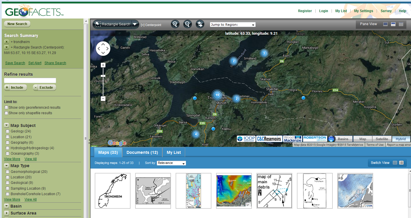
Geofacets is a map-based research tool designed for geoscientists, that enables you to assess a region or basin’s geologic characteristics.
You can discover maps by searching a geographical site or basin, but also by a conventional literature search. The maps are downloadable, geo-referenced, and accompanied by meta data, article abstracts and links to original source articles – and also available as GeoTIFFs for easy integration with GIS and other software.
Learn more about geofacets content
Geofacets is designed to support research and teaching. The library has arranged a trial period that will run until the 14th of October. To get the most out of Geofacets, visit the training and support page to find how-to videos, user guides, and frequently asked questions.
Try Geofacets here and let us know what you think about this resource: Is it useful for your activity? Should we subscribe to it?… Email me