
The small satellite HYPSO-1, built by more than 80 students and researchers at the Department of Engineering Cybernetics and the Department of Electronic Systems – and other departments, has participated in several research missions already.
HYPSO-1 was launced from Florida on January 13, together with other small satellites from a Falcon 9. Those who are familiar with how satellites work know that it takes time to turn on all the systems and see if they function as planned.
For this satellite, NTNU has built a hyperspectral imager that can take pictures with a lot more data than normal RBG-pictures. Hence there was tremendous suspense about whether the hyperspectral imager in HYPSO-1 would work.
To both the students and researchers’ excitement, it has functioned well so far.
Read also: Historical launch of Norwegian small satellite
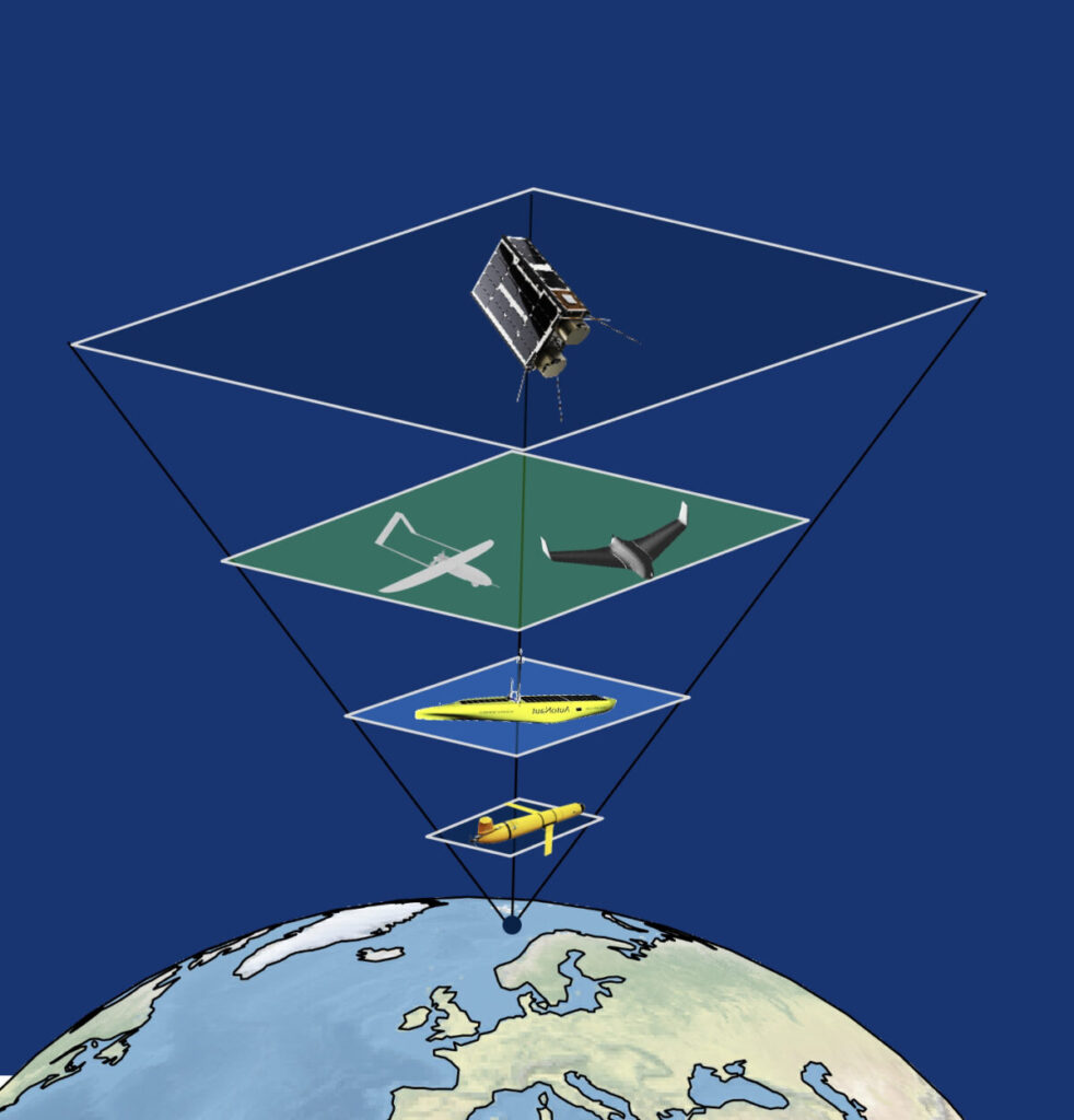
World premiere: The observational pyramid
“This is an important milestone that shows that Norwegian universities are capable of building small satellites for research purposes,” says Tor Arne Johansen, professor at the Department of Engineering and NTNU AMOS (Centre of Excellence Autonomous Marine Operations and Systems).
In May HYPSO-1 was on its second bigger mission. The first mission was to monitor the algal bloom in Frohavet earlier this year. In addition, HYPSO-1 has taken more than hundred hyperspectral images from all parts of the world since January.
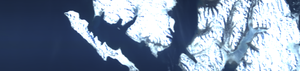
The May mission was to scan Kongsfjorden outside Ny-Ålesund in Svalbard, to observe the possible algal blooms and identify which types of blooms could be found. The satellite was used together with other platforms: subsea drones, unmanned surface vehicles, aerial drones, and water samples collected from boats.
The goal with this research was to test the so-called «observational pyramid». All these platforms were used simultaneously to map a certain area in Kongsfjorden.
“We have demonstrated that a small satellite has a place in the observational pyramid,” says Eirik Sivertsen, project manager for the research infrastructure for small satellites at NTNU.
Sivertsen was in Ny-Ålesund to see how the observational pyramid worked.
“There are aspects that must be improved but sharing information between different observational platforms that work together can have huge benefits for researchers,” Sivertsen says.
Taking the pulse of the ocean
Algal blooms are a part of the ocean’s transition from winter to spring. In the Arctic, the rapid pulse on climate change, and its effect on health of the species that live in the ocean, shows earlier than other places on earth.
HYPSO-1 showed possible algal blooms in the areas around Ny-Ålesund. The satellite is dependent on good weather to be able to scan the ocean.
Researchers from other countries in Ny-Ålesund expressed interest in ordering future missions from the satellite after seeing the result of the scan.
This research was a collaboration between NTNU AMOS, the Department of Biology and the Department of Marine Technology at NTNU, The University of Tromsø (UiT), and a biology course at the University Centre in Svalbard (UNIS).
The biology team were there a couple of days before the rest of the teams to gather water samples, gather phytoplankton, measure biodiversity, photosynthesis, growth rate and the health state both in the ocean and in the laboratory in Ny-Ålesund.
Five teams collaborating
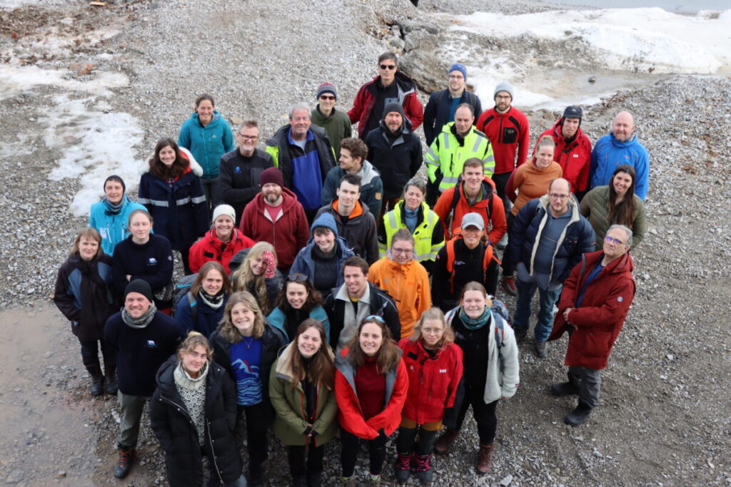
There were five teams participating in the observational pyramid in addition to the small satellite team.
The UAV-team in the Department of Engineering Cybernetics flew an unmanned drone with a hyperspectral imager. The University of Tromsø brought an unmanned surface vehicle with acoustic sensors and CTD-sensors.
The Department of Marine Technology tested autonomous underwater vehicles with different sensors and a small, unmanned Otter with a subsea hyperspectral imager from Ecotone. The Department of Biology and UNIS took water samples before, during and after the experiment to measure the physiology of algal cells to see the different species, the biomass, the photosynthesis, and the health condition – important information in addition to the measurement of algal bloom in bigger areas.
“By using all these platforms in the same area, sharing information and collaborating, we can collect data more effectively, and we also get more data than we do by collecting data from the ocean in traditional ways,” says Geir Johnsen, Professor in marine biology at NTNU AMOS.
To this day the biologists use very time-consuming methods to map life in the ocean – and they are measurements that can be used for calibrating the remote measurements done in bigger areas.
Can be used for a lot of different purposes
“We think the observational pyramid can be developed. We have worked closely with biologists to see what they need, but we see a lot of other potential aereas of use,” says Tor Arne Johansen.
He mentions that the aquaculture industry can have hugely benefits from more effective and automated systems to map and monitor conditions that may impact fish welfare and the environment around the fish farms. The technology can be used to strengthen the knowledge of our freshwater systems. And in the future – could a more automated, underwater coast guard be possible?
“This can be a foundation for a brand-new industry, with value creation and workplaces for Norway in the future,” Johansen says.
Contact persons
- Eirik Sivertsen, Project Manager NTNU
E-mail: Eirik.S.Sivertsen@ntnu.no. Tel: + 47 92650695 - Geir Johnsen, Professor in Marin bilogy at NTNU
E-mail: geir.johnsen@ntnu.no . Tel: + 47 918 97 927.