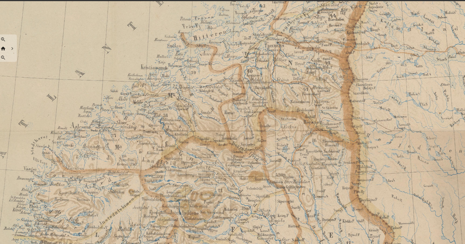
Imagine a digital map of the world visualizing all the places, countries, and regions mentioned from year to year in Norwegian literature between 1814 and 1905. Which contours of Norway and the world would emerge? And how can such a digital literary geography renew research and teaching of Norwegian literary history? That is what we aim to find out in this project.
The project will map the «imagined geographies» of Norwegian literature between 1814 and 1905. By imagined geographies we simply mean literary descriptions of space and place. Such descriptions are not neutral, but situated in historical and political contexts. Since the National library of Norway has digitized its entire collection of books, we can now use digital tools to map the geographical attention of authors from a birds-eye view. The project will use digital tools to systematize placenames from an archive of some 20 000 books published from the year of the Norwegian constitution to the year of Norway’s national independence.
Our goal is to “dig out” a hidden geography from the archive; to identify which conflicts and stereotypes it refers to; and to find out which function it may have had in literary history. We will try to identify the historical forces that drove literature’s geographical orientation throughout this period; but we shall also develop a new approach to literary history education in schools, where digital maps and perspectives of literary geography will form exploratory and interdisciplinary teaching strategies.
ImagiNation shall deliver new knowledge of how Norway and the world was depicted in 19th century literature; a new theoretical and methodological framework for literary history education; and a new infrastructure for digital humanities in Norway. Overall, the project will deliver digital, pedagogical and critical tools to educate pupils and teachers with historical knowledge and critical awareness of how cultural expressions create social realities.
